Ottawa Maps and Orientation
(Ottawa, Ontario - ON, Canada)
As Canada's proud capital city and part of the National Capital Region, Ottawa is a city of great importance and status. With just under one million residents, Ottawa is in fact the fourth-largest city in Canada, after
Toronto,
Montreal and also
Calgary.
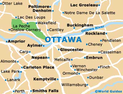
Ottawa is located in the Canadian province of Ontario and on the eastern banks of the Ottawa River, directly to the south of nearby Gatineau and west of Montreal. This lively cosmopolitan city makes the very most of its riverside setting and scenery, with a surrounding greenbelt region. There are also many parks and trails on offer here, and these are highly suitable for cycling, jogging or simply walking.
Maps and Orientation of the City
The area known as Lower Town marks the most historical part of Ottawa and includes the remains of 'Bytown' (the city's former name), being situated alongside the Rideau Canal. Downtown Ottawa lies to the west and is often referred to by locals as 'Centertown'. Parliament Hill stands between Ottawa River and the Centertown area, and is home to a series of important government buildings.
Map of Canada

Map of Ontario

Map of Ottawa